Drag and drop to re-order
MoTuWeThFrSaSu
About the Chennai → Busan route
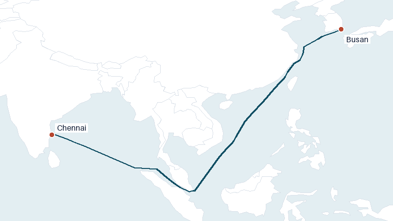
The sea route from Chennai to Busan covers approximately 4133 nautical miles (7654 km). At a typical vessel speed of 14 knots, that's roughly 12 days at sea, not including port time, weather routing, or canal transit delays.
Frequently asked questions
How is the Chennai to Busan transit time estimated?
VoyageDistance calculates the Chennai–Busan route along real shipping lanes and chokepoints, then divides the total distance by an assumed vessel speed (14 knots by default) to estimate transit time. Adjust the speed above to match your own vessel.
Does the Chennai to Busan distance change with vessel speed?
No — distance is fixed by the route geometry. Only transit time changes with speed, so adjust the speed field above to see estimates for different vessel speeds.