Drag and drop to re-order
About the Chennai → New York route
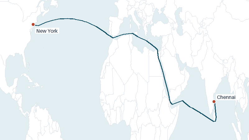
The sea route from Chennai to New York covers approximately 9235 nautical miles (17103 km). At a typical vessel speed of 14 knots, that's roughly 27 days at sea, not including port time, weather routing, or canal transit delays.
This route normally transits the Suez Canal. Routing around it instead adds about 2502 nautical miles and 7 extra days at 14 knots. See our Suez Canal vs. Cape of Good Hope comparison for why more ships are taking the longer route in 2026.
Frequently asked questions
How is the Chennai to New York transit time estimated?
VoyageDistance calculates the Chennai–New York route along real shipping lanes and chokepoints, then divides the total distance by an assumed vessel speed (14 knots by default) to estimate transit time. Adjust the speed above to match your own vessel.
Can the Chennai to New York route avoid the Suez Canal?
Yes — untick the Suez Canal checkbox above to see the alternative routing. Avoiding it adds about 2502 nautical miles and 7 days to this voyage at 14 knots.